Avslutad
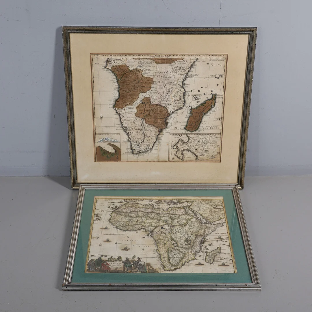
FREDERIK DE WIT. Totius Africae Accuratissima Tabula..., c. 1680 or later.
Frederik De Wit
· Crewkerne
Klubbat pris
840SEK
65 GBP i originalvaluta · 4 bud
Beskrivning & detaljer
Frederik de Wit. Totius Africae Accuratissima Tabula...., hand-coloured engraved map, large allegorical cartouche, Amsterdam: 1680 or later, 580mm x 485mm, later framed and glazed, 73cm x 65cm overall; Nicolas Janz Visscher II. Carte De L'Afrique Meridionale...., hand-coloured engraved map, three inset plans and elevations including 'Elevation du port et Mont Table au Cap de Bonne Esperance,' 'Plan du port et Mont Table au Cap de Bonne Esperance' and an enlarged map of the Cape, Amsterdam: 1730 or later, 580mm x 495mm, later framed and glazed, 80cm x 75cm overall (2).
- Kategori
- Maps
- Plats
- Crewkerne