Avslutad
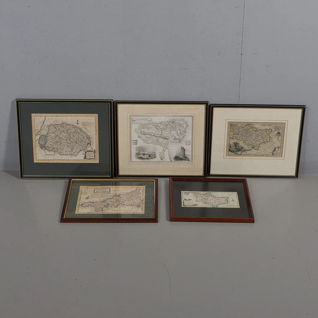
HERMAN MOLL (1654-1732). A Map of Cornwall, circa 1724 or later.
Herman Moll
· Crewkerne
Klubbat pris
659SEK
50 GBP i originalvaluta · 1 bud
Herman Moll
· Crewkerne
50 GBP i originalvaluta · 1 bud
Tupendan Est.
324 – 535SEK
Median 422 SEK för det här objektet, baserat på 8 semantiskt liknande sålda objekt i samma kategori. Justerat för antal och skick (empiriska faktorer från 31 000+ försäljningar av samma modell). Spannet är 25:e–75:e percentilen.
Klubbat 659 SEK — +56 % mot Tupendans estimat 422 SEK.
Skick
Scattered spotting and staining. Some closed tears to edges. Under glass, unexamined out of glazed frame.
Utläst automatiskt ur husets skickbeskrivning.
Herman Moll (1654-1732). Cornwall, engraved map with hand-colouring, 260mm x 190mm, published London: H. Moll, 1724 or later, later framed and glazed, 36cm x 30cm overall; Alexander Hogg. A New Map of Kent Drawn from the Latest Authorities, engraved map with hand-colouring, 220mm x 110mm, published London: Alex Hogg, 1784 or later, later framed and glazed, 31cm x 29cm overall; Thomas Kitchin. Kent Drawn from an Actual Survey and Regulated by Astronomical Observations, engraved map with hand-colouring, 230mm x 150mm, published London: Thomas Kitchin, 1769 or later, later framed and glazed, 38cm x 32cm overall; A New Map of Norfolk Drawn from the best Authorities, engraved map with hand-colouring, 265mm x 205mm, published: London: Thomas Kitchin, 1764 or later, later framed and glazed, 39cm x 34cm overall; and two others similar (5).