14h 44min left· Updated 21 hr ago
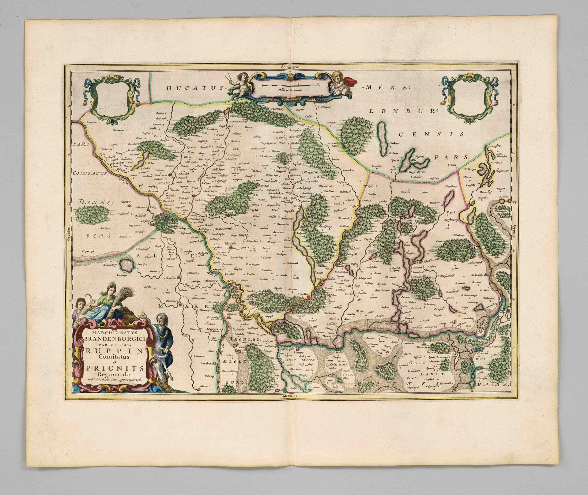
Historical map of Brandenburg, specifically the Prignitz and Ruppin regions -- 'Marchionatus Brandenburgici Partes Duae, Ruppin Comitatus & Prignits…
· Berlin
Starting bid
1,100SEK
100 EUR in original currency · next bid 1,100 SEK
You pay
1,429SEK
Description & details
Historical map of Brandenburg, specifically the Prignitz and Ruppin regions -- 'Marchionatus Brandenburgici Partes Duae, Ruppin Comitatus & Prignits Regiuncula', partially colored. Copperplate engraving with decorative cartouche, published by Blaeu around 1660, wide-margin sheet with a central fold and French text on the reverse, sheet dimensions 52 x 60 cm
- Category
- Books & manuscripts
- Location
- Berlin
- Dimensions
- H 52 × W 60 cm (sheet)