2d 19h kvar· Uppdaterad för 17 tim sedan
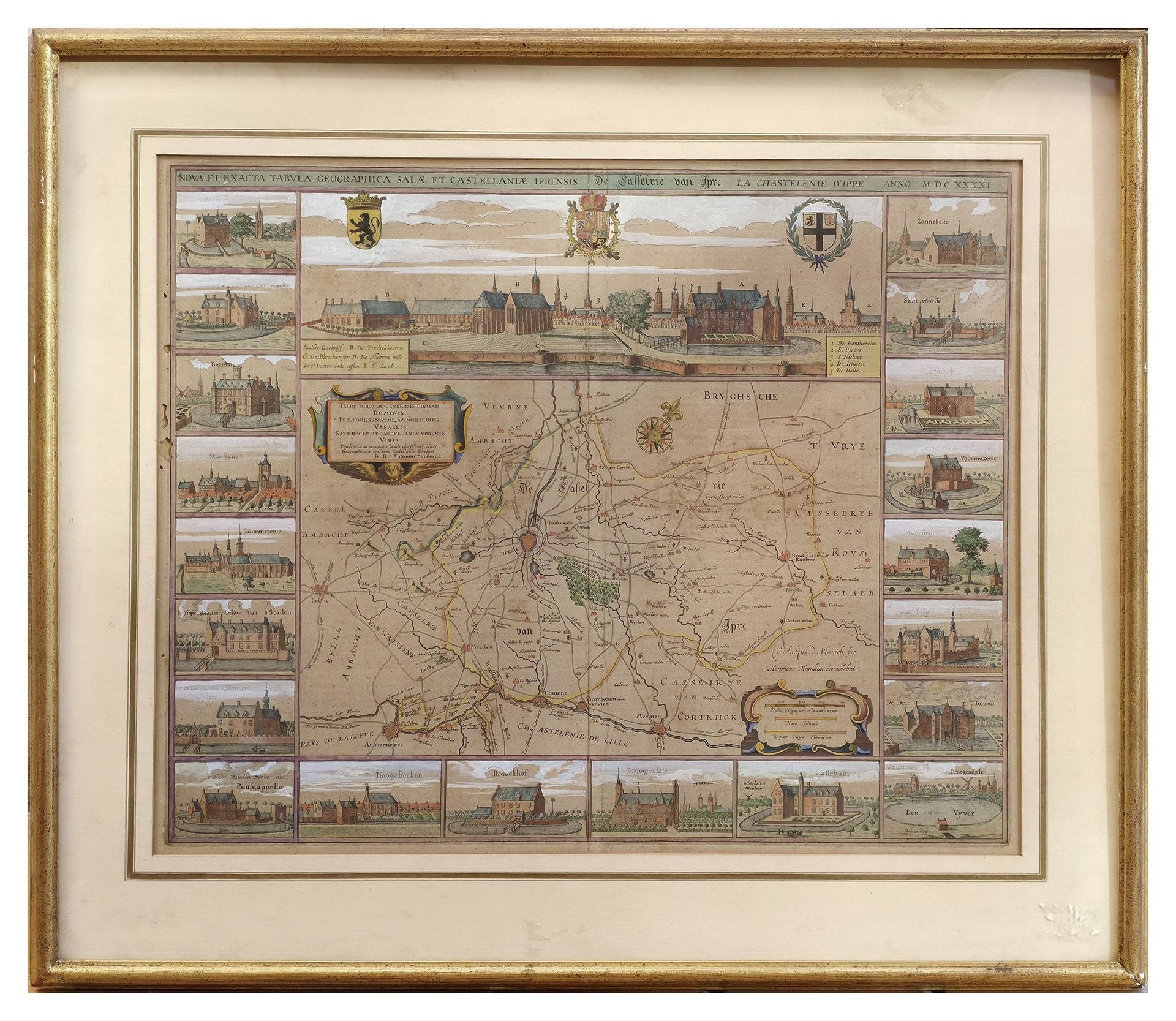
ANTONIUS SANDERUS (1586–1664), after VEDASTUS DU PLOUICH – HENRICUS HONDIUS
Accademia Fine Art · Monte-Carlo
Utropspris
880SEK
80 EUR i originalvaluta · nästa bud 880 SEK
Du betalar
1 166SEK
Beskrivning & detaljer
ANTONIUS SANDERUS (1586–1664), after VEDASTUS DU PLOUICH – HENRICUS HONDIUS “Nova et Exacta Tabula Geographica Salæ et Castellaniæ Iprensis” / “De Casselrie van Ipre” / “La Chastelenie d’Ipre,” anno M.DC.XXXXI (1641) Antique illustrated map, engraved on copper and watercolored at the time, depicting the castellany of Ypres (West Flanders, present-day Belgium), taken from the famous work “Flandria Illustrata ” by Antonius Sanderus, a Flemish canon and historian, published
- Kategori
- Books & manuscripts
- Plats
- Monte-Carlo