13h 44min kvar· Uppdaterad för 23 min sen
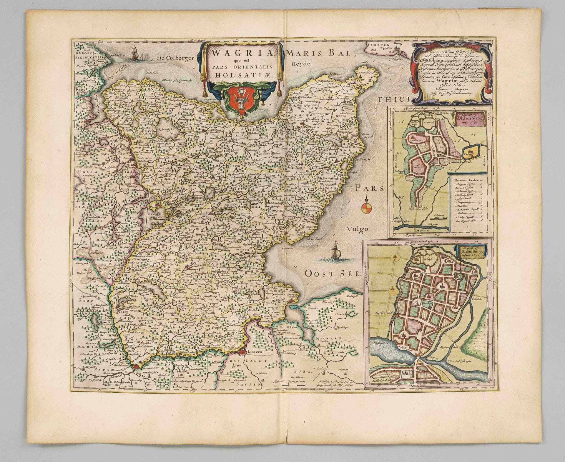
Historical map of Wagrien in Schleswig-Holstein -- “Wagria, que est pars orientalis Holsatiae,” map of the area between Lübeck and Kiel, colored. Copperplate…
· Berlin
Utropspris
1 100SEK
100 EUR i originalvaluta · nästa bud 1 100 SEK
Du betalar
1 429SEK
Beskrivning & detaljer
Historical map of Wagrien in Schleswig-Holstein -- “Wagria, que est pars orientalis Holsatiae,” map of the area between Lübeck and Kiel, colored. Copperplate engraving by Mejer-Husum for Blaeu, circa 1680, with scrollwork and coat-of-arms cartouche, two maps of Oldenburg in Holstein, center fold, French text on the reverse, wide-margin copy, sheet dimensions 51.5 x 61 cm
- Kategori
- Books & manuscripts
- Plats
- Berlin
- Mått
- H 51,5 × B 61 cm (bladmått)