Avslutad
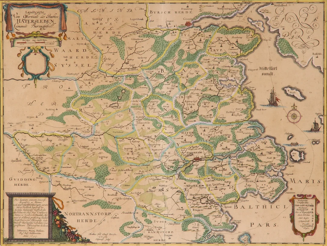
Johannes Mejer. Map of eastern Haderslev County
Johannes Mejer
· Vejle
Klubbat pris
591SEK
397 DKK i originalvaluta · 2 bud
Beskrivning & detaljer
This lot has been put up for resale under the new lot no. 6522008 Automatic translation from Danish. Johannes Mejer (1606-1674). Map of the eastern Haderslev County, 'Landtcarte vom Ostertheile des Ambtes Hatersleben Genandt Baringsyssell', hand-colored copper engraving, engraved by Matthias and Claus Petersen, Husum 1649. Dimensions: 40 x 53.5 cm (60 x 72 cm). Appears slightly yellowed, with centerfold as at publication. Provenance: Danske Bank.
- Kategori
- Hobby and collectibles/Books, maps, magazines
- Plats
- Vejle
- Mått
- 60 × 72 cm