8d 17h kvar· Uppdaterad för 15 tim sedan
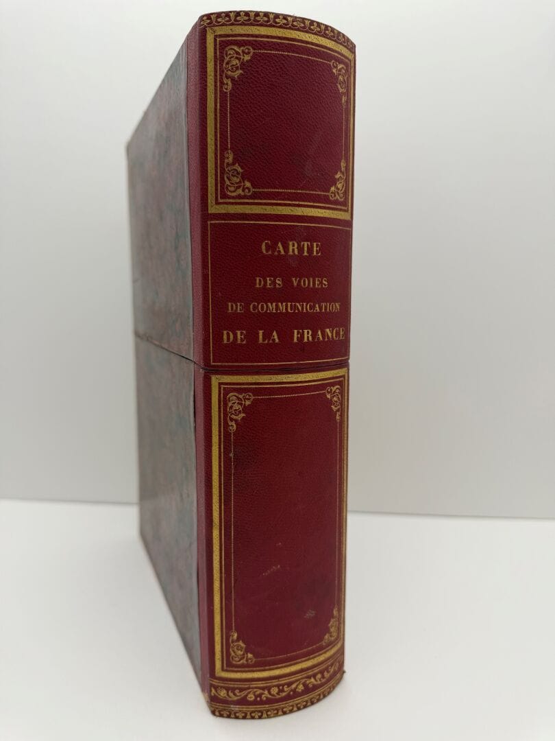
[ATLAS - MAPS]. VALLOT (S.). GENERAL MAP OF THE MAIN TRANSPORT ROUTES OF THE KINGDOM OF FRANCE. Paris, Andriveau-Goujon, [c. 1846]. Six canvas-mounted and…
· Toulouse
Estimat
1 649SEK
150 EUR i originalvaluta · Estimat — inga bud ännu.
Du betalar
2 144SEK
Beskrivning & detaljer
[ATLAS - MAPS]. VALLOT (S.). GENERAL MAP OF THE MAIN TRANSPORT ROUTES OF THE KINGDOM OF FRANCE. Paris, Andriveau-Goujon, [c. 1846]. Six canvas-mounted and folded sheets, each measuring 73 × 108 cm, the set housed in a two-part cardboard slipcase from the publisher, with a round red shagreen spine featuring decorative raised bands and a gilt title. Traces of glue on the canvas, less noticeable on the maps. FIRST EDITION of this RARE AND IMPORTANT MAP, engraved on steel and enhanced with watercol
- Kategori
- Books & manuscripts
- Plats
- Toulouse
- Mått
- 73 × 108 cm