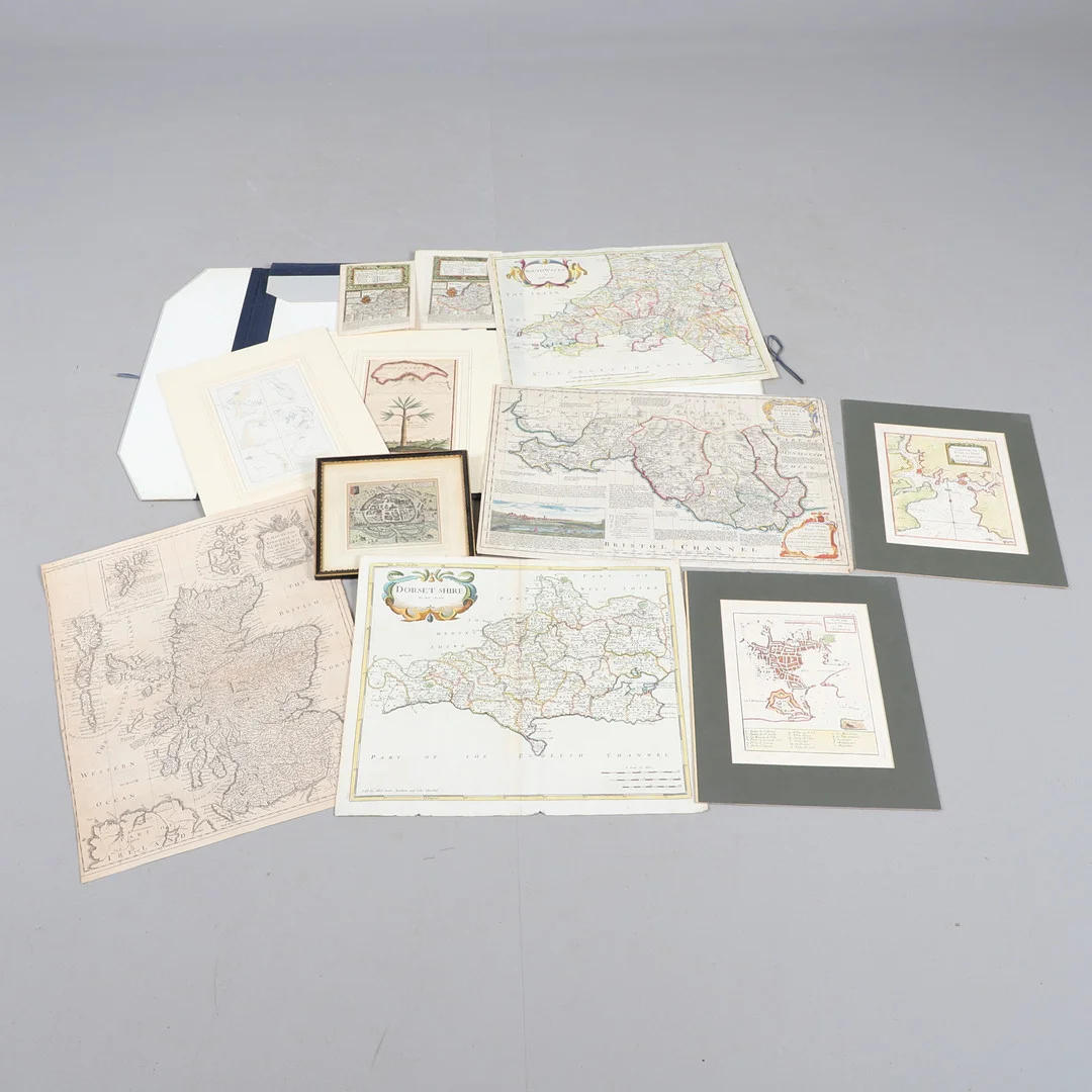
JACQUES-NICOLAS BELLIN (1703-1772). Carte De La Baye Et Port De Plimouth, c. 1764 or later.
70 GBP i originalvaluta · 2 bud
Beskrivning & detaljer
Jacques-Nicolas Bellin (1703-1772). Carte De La Baye Et Port De Plimouth, engraved map with outline colouring, sheet size 230mm x 315mm, Paris: 1764 or later, mounted, 30cm x 35.5cm overall; Jacques-Nicolas Bellin (1703-1772). Plan Des Ville Et Citadelle De Plymouth, hand-coloured engraved map, sheet size 230mm x 315mm, Paris: 1764 or later, mounted, 30cm x 36cm overall; Emmanuel Bowen and John Owen. The Road from Dartmouth in Devonshire to Minehead in Somerset, hand-coloured engraved map, sheet size 155mm x 215mm, London: T. Bowles, 1720 or later; George Child. The Island of Madeira and The Dragon Tree, hand-coloured copperplate engraving, sheet size 230mm x 350mm, London: Thomas Astley, 1745 or later, mounted, 30cm x 38cm overall; Rutger Hermann. Exonia Excester, hand-coloured engraved plan, 135mm x 115mm, Amsterdam: 1661 or later, later framed and glazed, 23cm x 20cm overall; Thomas Kitchin. An Accurate Map of Glamorganshire, hand-coloured engraved map, with an inset view of Cardiff, London: Carrington Bowles, John Bowles and Robert Sayer, 1763 or later; and two others, various sizes and dates (11).