4d 18h kvar· Uppdaterad för 17 tim sedan
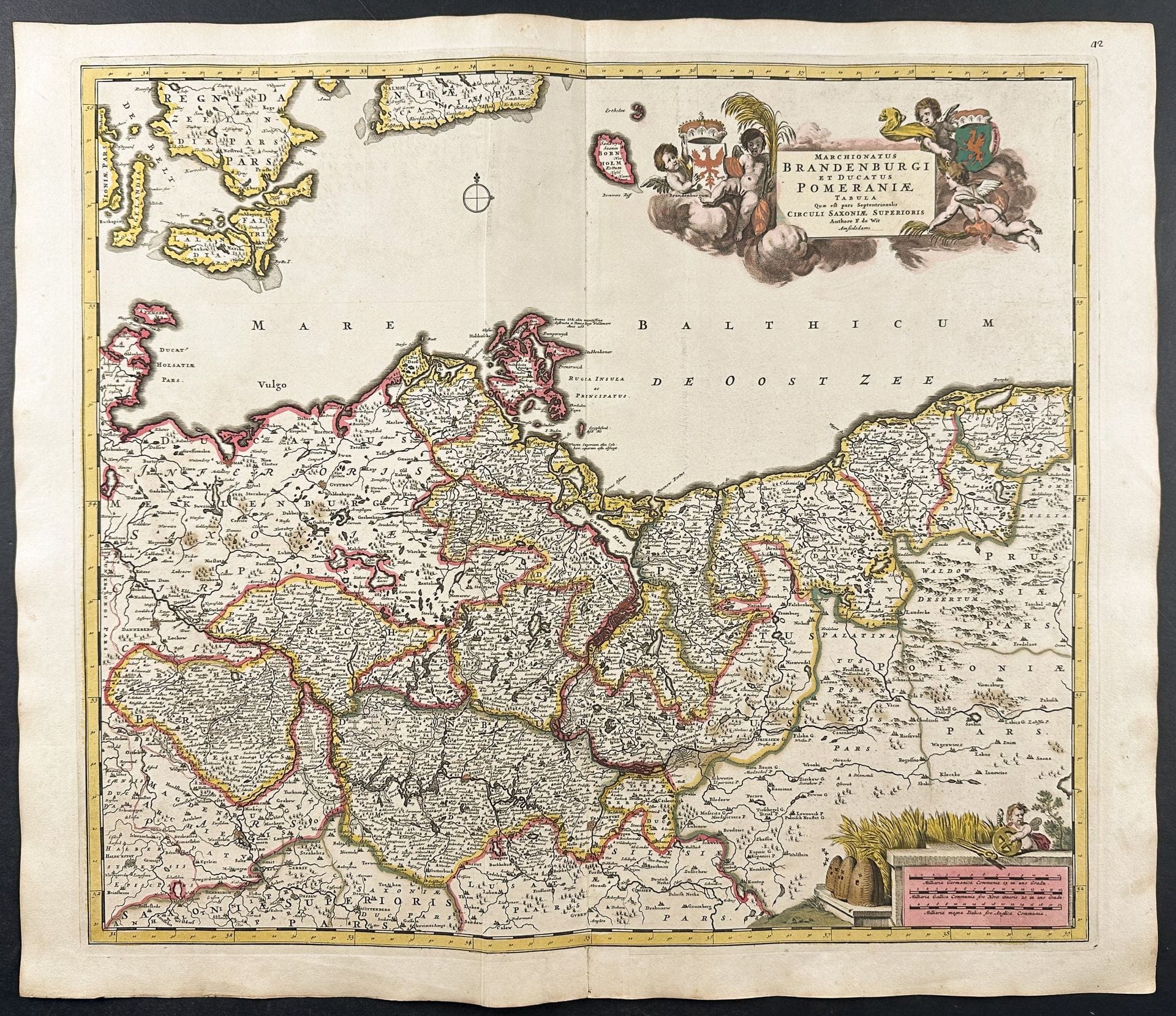
De Wit - Map of Brandenburg & Pomerania, Germany & Poland
Trillium Antique Prints & Rare Books · Franklin
Utropspris
1 474SEK
150 USD i originalvaluta · nästa bud 1 474 SEK
Du betalar
1 700SEK
Beskrivning & detaljer
De Wit - Map of Brandenburg & Pomerania, Germany & Poland Description of the work: This remarkable originally hand-colored engraved map is from Frederik de Wit’s Atlas Maior It was published in Amsterdam circa 1710. De Wit published composite atlases using plate stock of his own and other Amsterdam map publishers. This included maps from the likes of Hondius, Bleau, and Visscher. “The De Wit composite or 'dual-purpose' atlas is an early example of an atlas planned at its outset to serv
- Kategori
- Books & manuscripts
- Plats
- Franklin