15h 34min kvar· Uppdaterad för 21 tim sedan
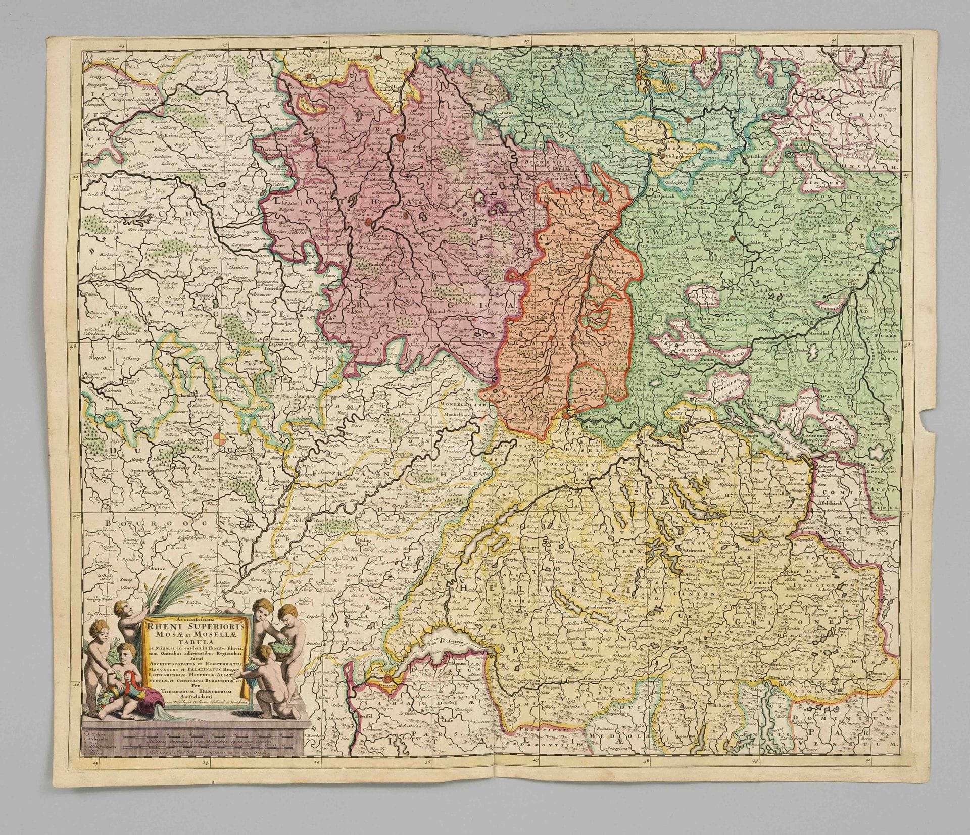
Historical map of the upper Rhine -- “Accuratissima Rheni superioris Mosae et Mosellae tabula,” partially colored el// Copperplate engraving by Danckerts,…
· Berlin
Utropspris
1 100SEK
100 EUR i originalvaluta · nästa bud 1 100 SEK
Du betalar
1 429SEK
Beskrivning & detaljer
Historical map of the upper Rhine -- “Accuratissima Rheni superioris Mosae et Mosellae tabula,” partially colored el// Copperplate engraving by Danckerts, Amsterdam, ca. 1700; the map depicts the regions along the Rhine River and its tributaries, the Meuse and Moselle, stretching from southwestern Germany (including the Black Forest) through Switzerland, Alsace, and Lorraine; the Middle Palatinate section is torn at the bottom and side edges, Sheet dimensions 52 x 61 cm
- Kategori
- Books & manuscripts
- Plats
- Berlin
- Mått
- H 52 × B 61 cm (bladmått)