Avslutad
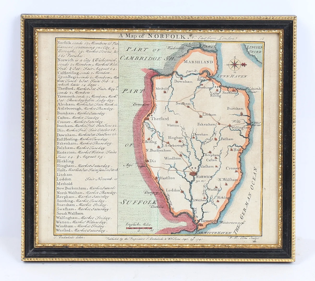
THOMAS BADESLADE & WILLIAM TOMS: A MAP OF NORFOLK c.1741.
Klubbat pris
324SEK
25 GBP i originalvaluta · 1 bud
Beskrivning & detaljer
an 18th century county map of Norfolk which was drawn and engraved by Thomas Badelsade and Will Henry Toms, published 1741. Map image size 13.5cm x 14.5cm.
- Kategori
- Maps