Avslutad
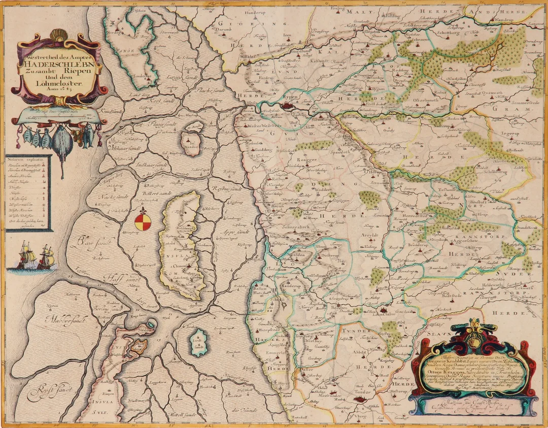
Johannes Mejer. Map of western South Jutland, 1649
Johannes Mejer
· Vejle
Klubbat pris
1 258SEK
845 DKK i originalvaluta · 11 bud
Beskrivning & detaljer
Johannes Mejer (1606-1674). Map of western South Jutland / northwestern Schleswig, 'Westertheil des Amptes Haderschleben zusambt Riepen und dem Löhmcloster. Anno 1649', hand-colored copper engraving, engraved by Matthias and Claus Petersen, Husum 1649. Dimensions: 41 x 53 cm (60 x 72 cm). Appears slightly yellowed, with centerfold as at publication. Provenance: Danske Bank.
- Kategori
- Hobby and collectibles/Books, maps, magazines
- Plats
- Vejle
- Mått
- 60 × 72 cm