14h 36min kvar· Uppdaterad för 22 tim sedan
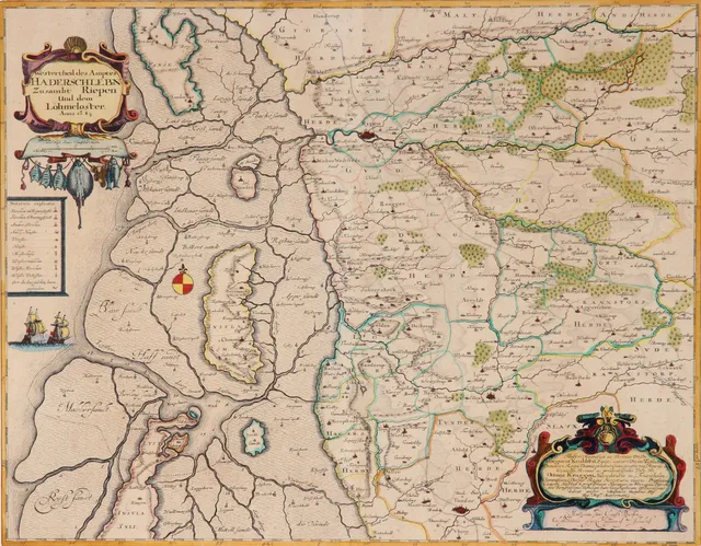
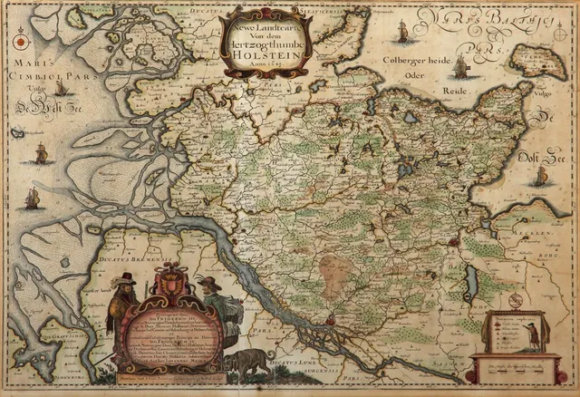
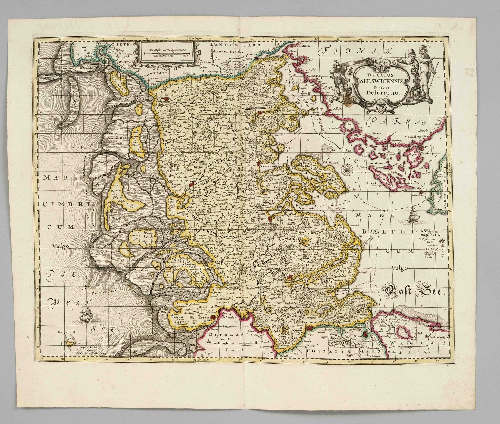
Historical map of Schleswig -- “Ducatus Sleswicensis, Nova Descriptio,” a partially colored copperplate map by Peter Schenk from around 1700, featuring a title…
· Berlin
Utropspris
1 100SEK
100 EUR i originalvaluta · nästa bud 1 100 SEK
Du betalar
1 429SEK
Beskrivning & detaljer
Historical map of Schleswig -- “Ducatus Sleswicensis, Nova Descriptio,” a partially colored copperplate map by Peter Schenk from around 1700, featuring a title cartouche in the upper right corner and a colored mileage indicator in the upper left corner. Shows the Duchy of Schleswig between the North Sea and the Baltic Sea, as well as Jutland and Kiel with the North Frisian Islands; wide-margin copy, center fold, 49 x 57 cm
- Kategori
- Books & manuscripts
- Plats
- Berlin
- Mått
- 49 × 57 cm