11d 20h kvar· Uppdaterad för 7 tim sedan
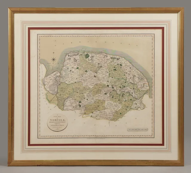
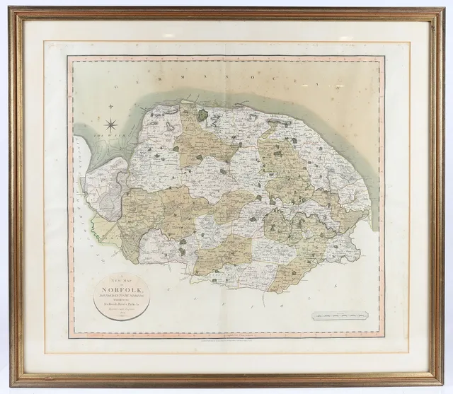
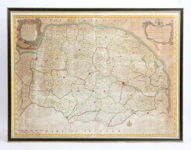
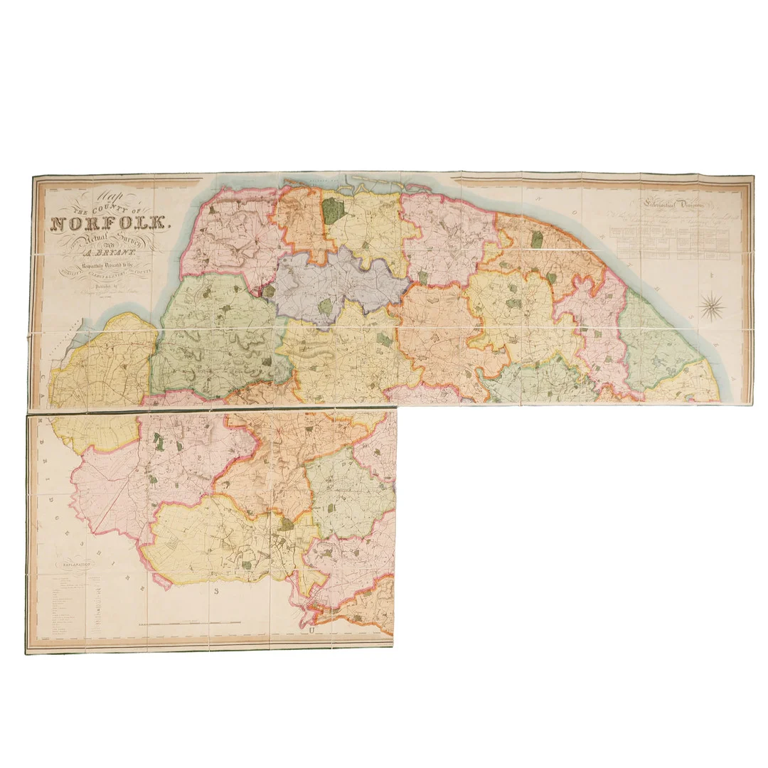
NORFOLK, BRYANT (ANDREW) LARGE FOLDING MAP OF THE COUNTY OF NORFOLK, 1826.
· Stowmarket
Utropspris
329SEK
25 GBP i originalvaluta · nästa bud 329 SEK
Du betalar
501SEK
· Stowmarket
25 GBP i originalvaluta · nästa bud 329 SEK
Skick
Bottom right section is missing, still with vibrant colours, normal marks and wear, scuffs and losses to the outer leather case.
Utläst automatiskt ur husets skickbeskrivning.
Norfolk.- Bryant (Andrew) Map of the County of Norfolk, large engraved folding map with original hand-colouring, in three sections, (bottom right corner missing), each approx. 114 cm x 71 cm, dissected and mounted on linen, published by Andrew Bryant Dec. 1st 1826, with outer leather bound case.
Samma formgivare, liknande utseende och beskrivning — i pågående auktioner, hos alla hus.
Vad liknande objekt faktiskt klubbades för — före husets avgifter.